


| By: Paul S. Cilwa | Viewed: 4/28/2024 Occurred: 3/21/2024 |
Page Views: 301 | |
| Topics: #Arizona #FourPeaksRecreationArea | |||
| Photos of my exploration of the Four Peaks Recreation Area. | |||
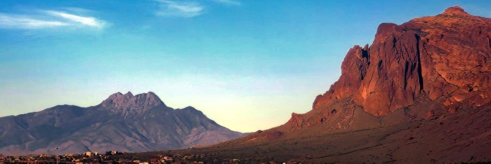
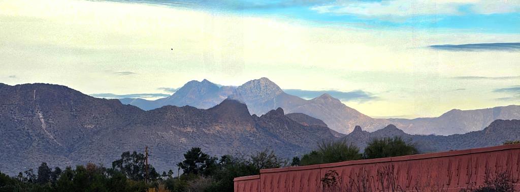
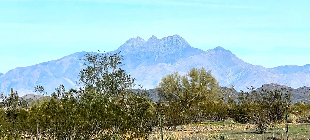
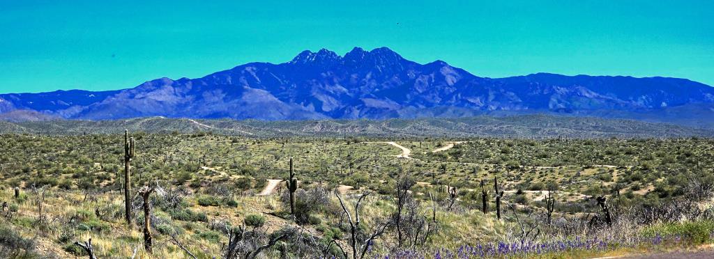
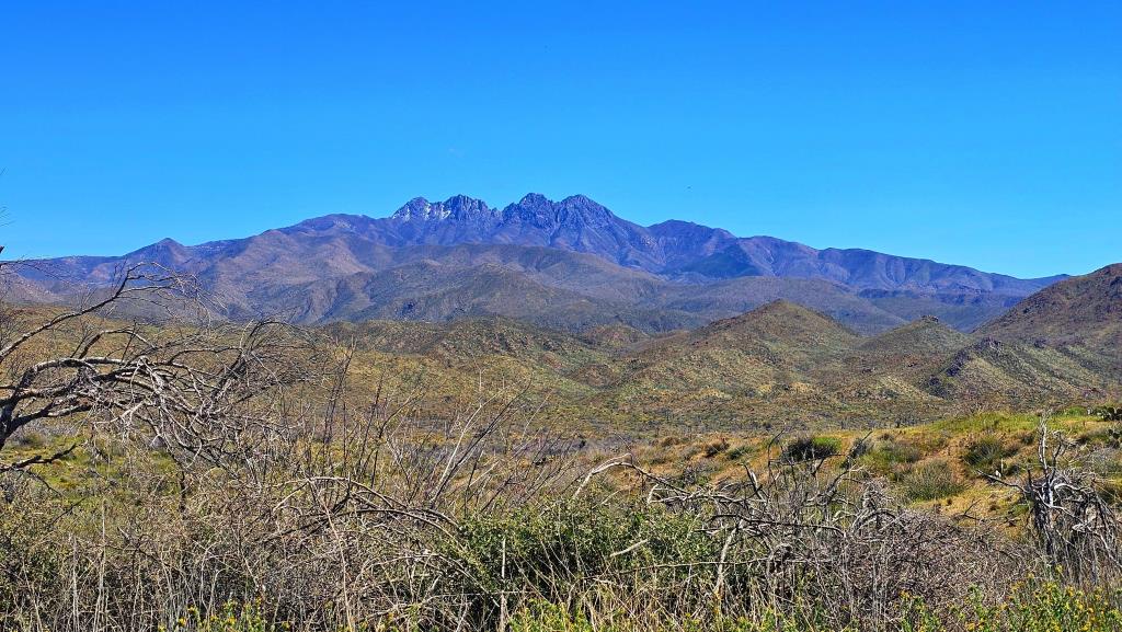
From the eastern half of the misnamed Valley
of Phoenix, the great massif
at the head of the Superstition Mountains dominates the eastern horizon. It's huge and you
can't miss it; it's visible from windows, parking lots, and highways. But soon after you
get so used to it you almost stop seeing it, you notice another distinctive mountain to its left.
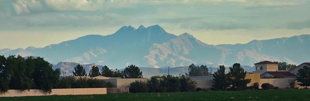
This is Four Peaks. From the East Valley vantagepoint, three of the peaks are more or less even, while the fourth seems less high.
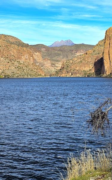
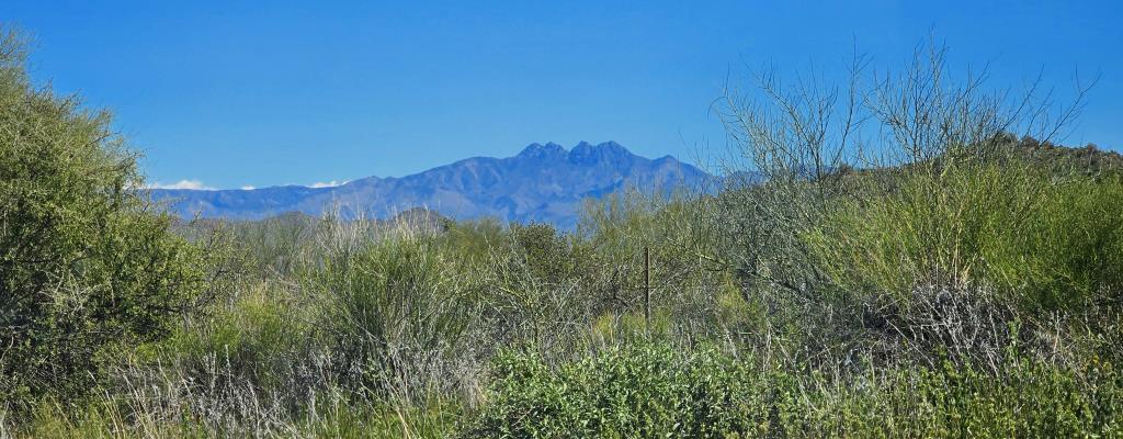
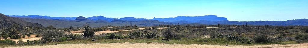
Even from the road above Canyon Lake in the middle of the Superstitions, Four Peaks is not only visible, but remarkable.
Many years ago, I was told Four Peaks is on a Native reservation and could only be visited with a paid Native guide. I have no problem with that, and have always intended to do it. However, it turns out this has never been true.
The Four Peaks recreational area is part of the Tonto National Forest and is designated as the Four Peaks Wilderness. This federally protected area encompasses 60,740 acres and is managed by the United States Forest Service (USFS). It's located within the Mazatzal Mountains, a rugged range that stretches across eastern Arizona.
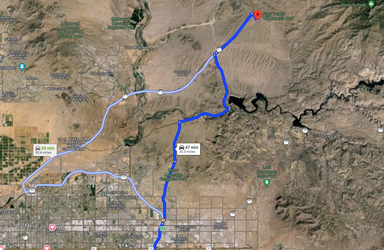
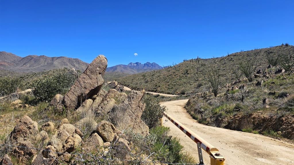
Now, all these photos so far were taken from Phoenix! (Or near it.) But today I decided to see how close I could drive. Here's my route, well away from the Interstates.
Along Bush Highway I spotted a sign for Butcher Jones Beach. I'd never noticed it before, and decided to take a quick side trip.
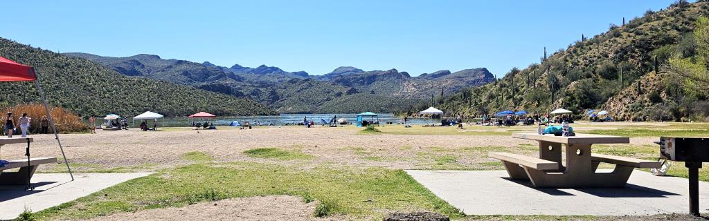
Butcher Jones Beach, located on the shores of Saguaro Lake in the Tonto National Forest, turns out to be a popular day-use area known for its clear waters, sandy beach, and recreational opportunities. It features a nature trail, picnic units with natural shade, and a gently sloping beach that offers safe, gradual changes in depth. The area is accessible year-round and is one of the most visited sites in the forest, perfect for activities like swimming, fishing, and picnicking.
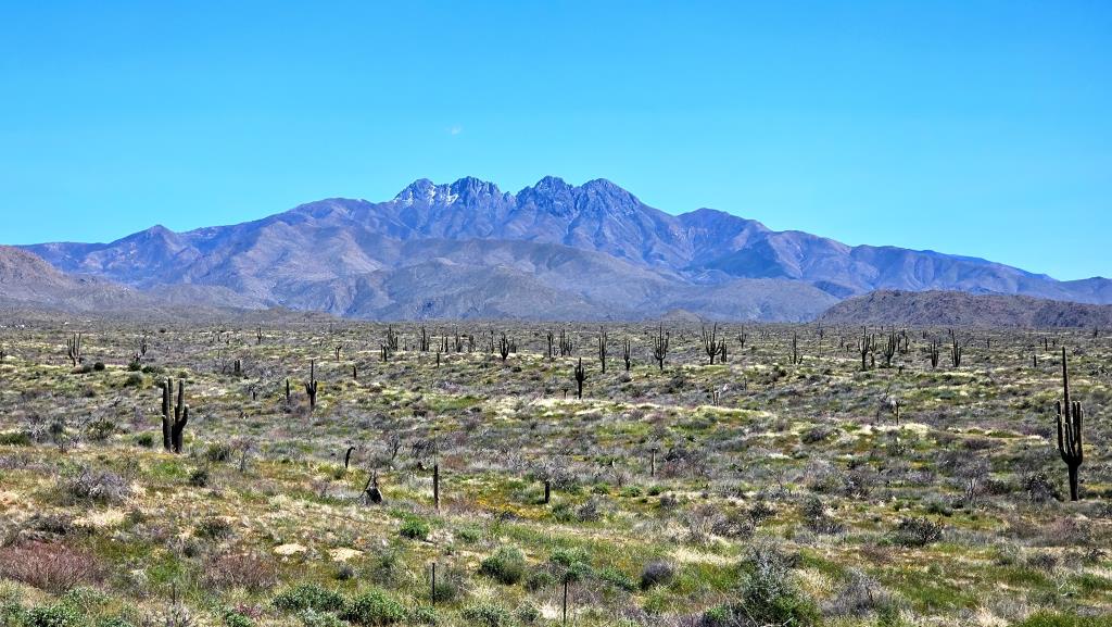
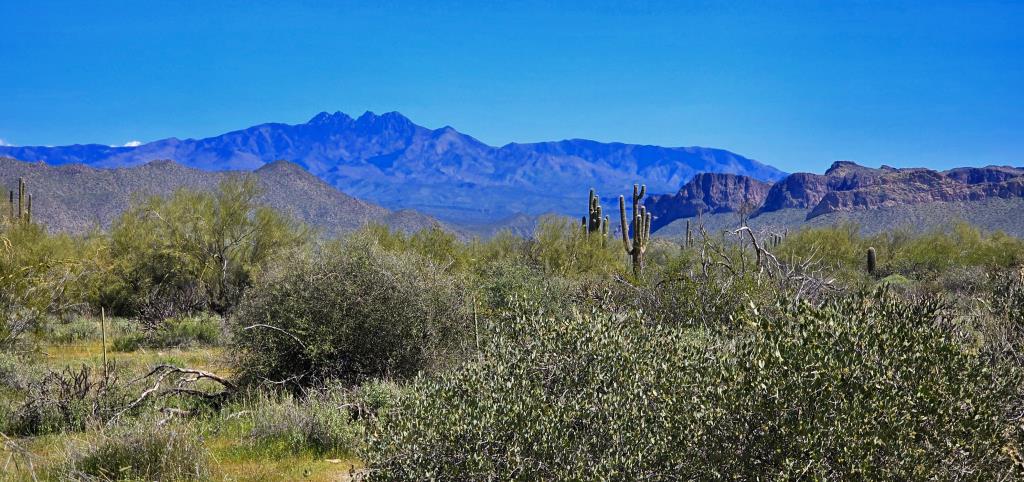
I love my Tesla but it is not a high-clearance vehicle. Still, the gravel roads after turning off onto 4 Peaks Road were in good repair.
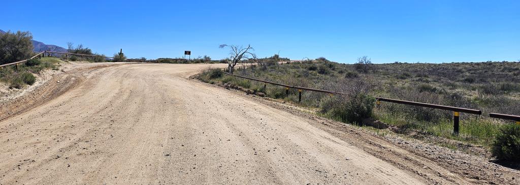
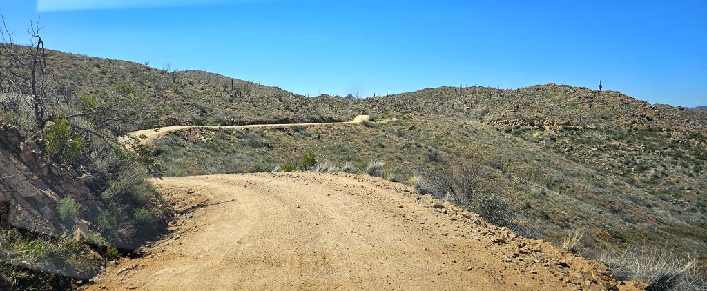
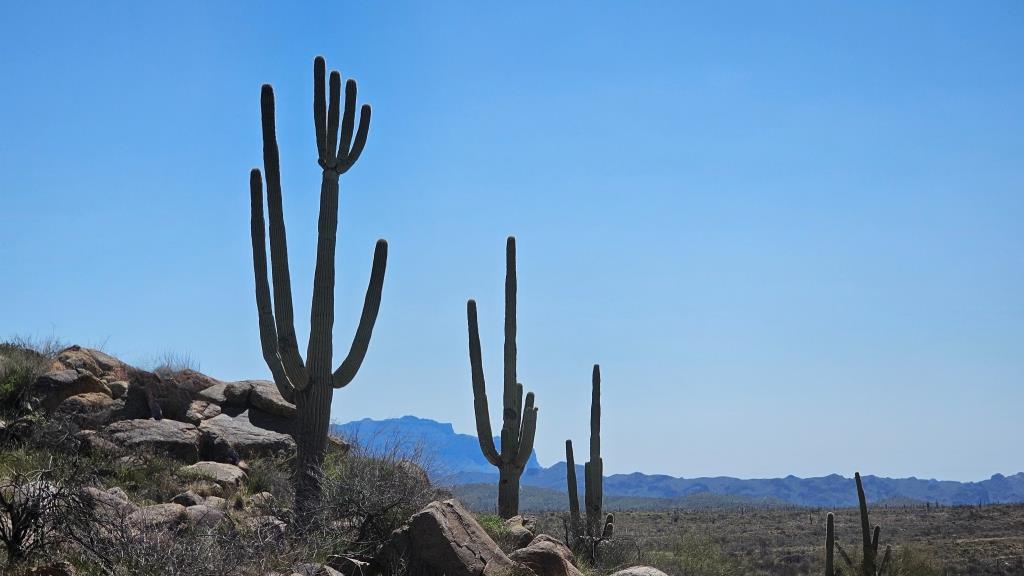
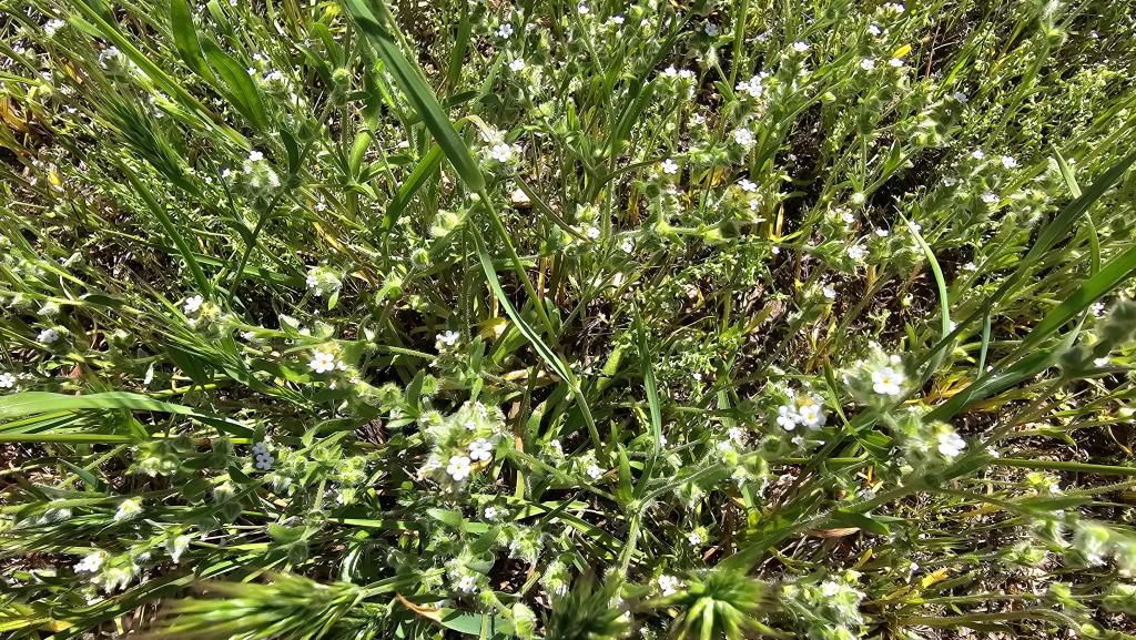
Today being the first day of spring, it was nice to see all the flowers blooming. After deciding I'd gone as close to Four Peaks itself as was practical in an urban-optimized vehicle, I took a six-mile detour to visit Ballentine/Pine Loop trail, just to see if there'd be flowers blooming amid the cacti.
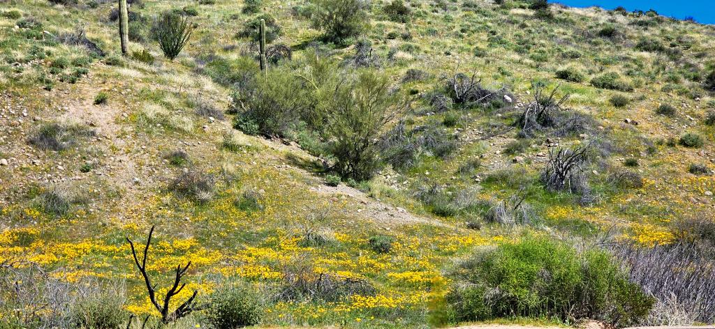
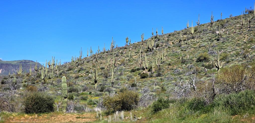
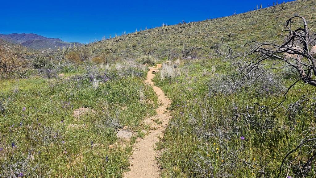
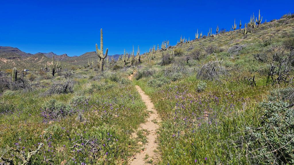
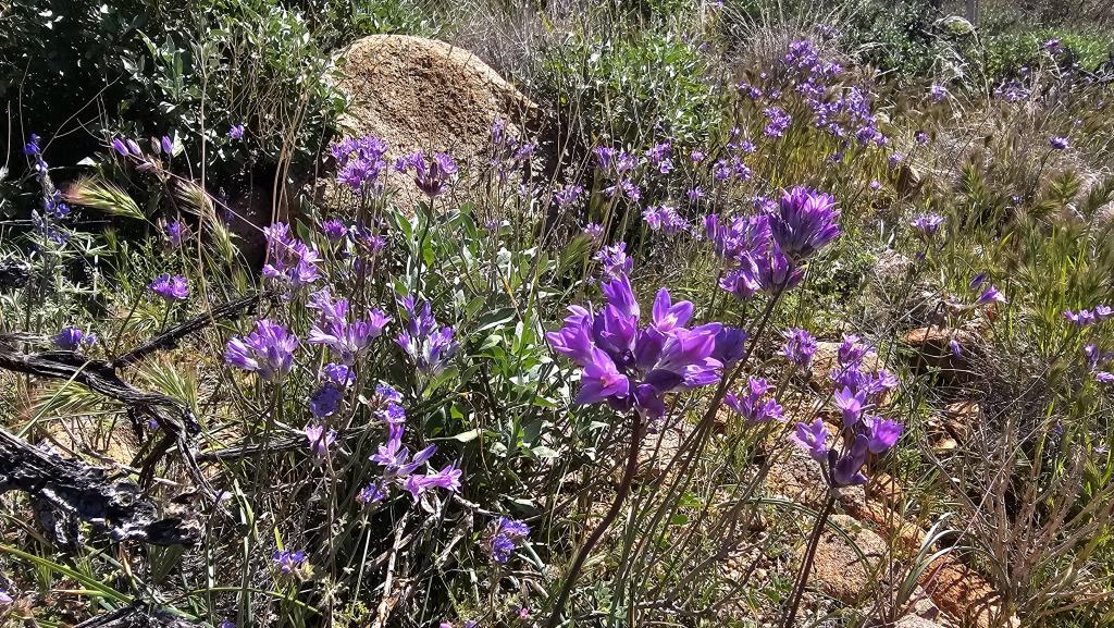
And there was!